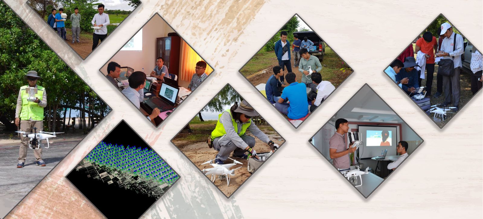
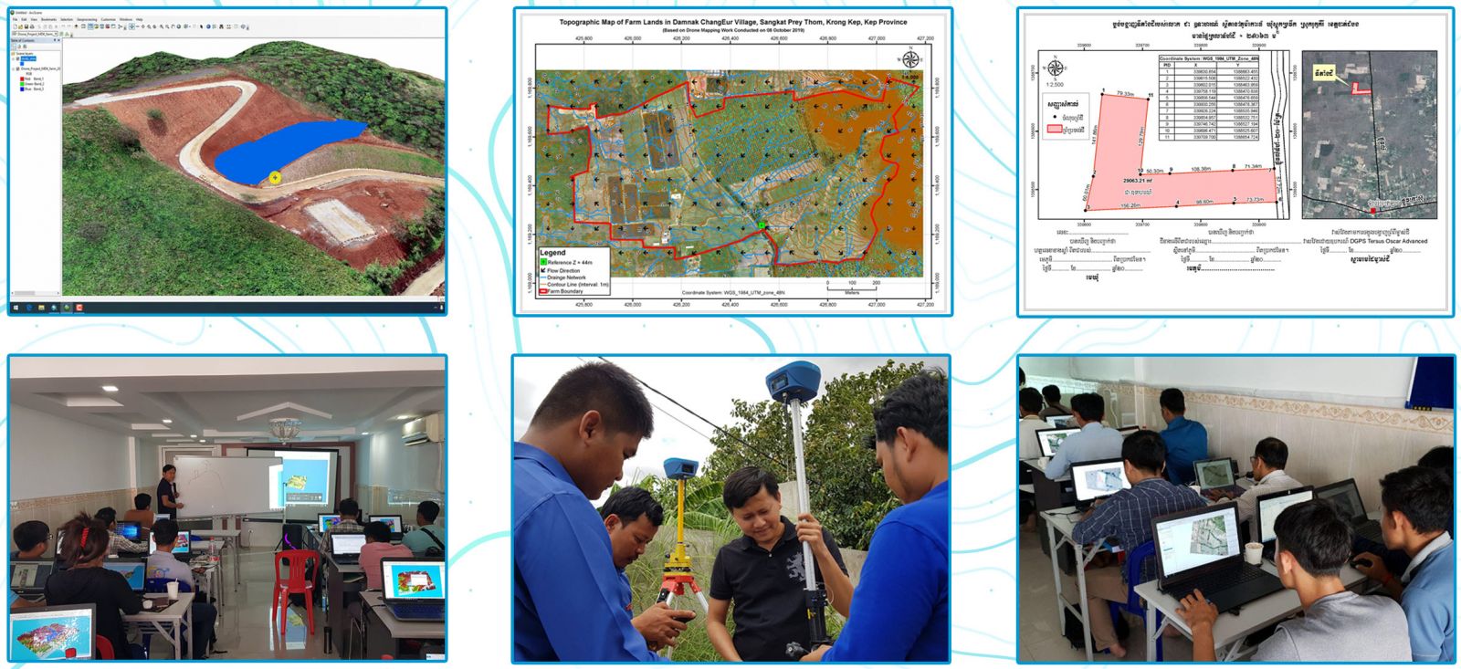
We usually conduct GIS and Remote Sensing related training courses on the weekend basis but we could also provide customized training courses that fit your team's need, availability and capacity. The followings are popular training courses that we have done so far:
វគ្គបណ្តុះបណ្តាលស្តីពី៖ ការប្រើប្រាស់ DJI ដ្រូនសម្រាប់ផលិតផែនទី Orthophotos និងទិន្នន័យកំពស់ដី DSM/DTM


